With last weekend’s sunny 70 degree weather, Nick and I wanted to be sure to go out and enjoy it. We were planning on hiking either Twin Falls or Cedar Butte, but we heard I-90 was going to be down to one lane for construction… so we nixed that idea and went to Discovery Park instead.
I wasn’t sure whether or not to categorize our trip to Discovery Park as hiking or not. The trails at Discovery Park aren’t as intense as real hiking, but they aren’t as easy as a casual walk in the park either. WTA (Washington Trails Association) lists it as a hike, though, so that’s good enough for me.
Our* Discovery Park “hike” statistics**:
- Roundtrip: 4.52 to 4.50 miles
- Elevation gain: 345 to 339 feet
- Cumulative elevation gain: 615 to 690 feet
- Highest point: 345 to 339 feet
* I specifically said “our” hike because Discovery Park has a lot of different trails, so you can decide how long/difficult you want your hike to be.
** The numbers are what was recorded using the My Tracks and RunKeeper apps, respectively.
About Discovery Park
Discovery Park is Seattle’s largest park at 534 acres. It’s a natural area that serves as a quiet getaway for Seattleites and a sanctuary for wildlife. 12 miles of trails throughout the park take you along the two mile stretch of beaches and through meadows and forests.
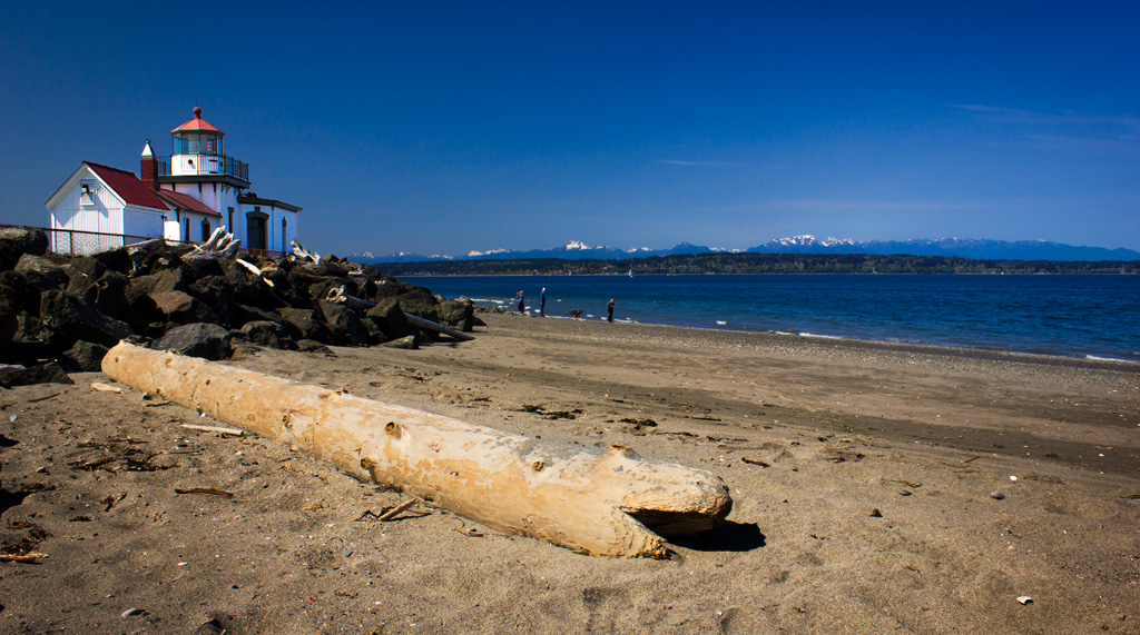
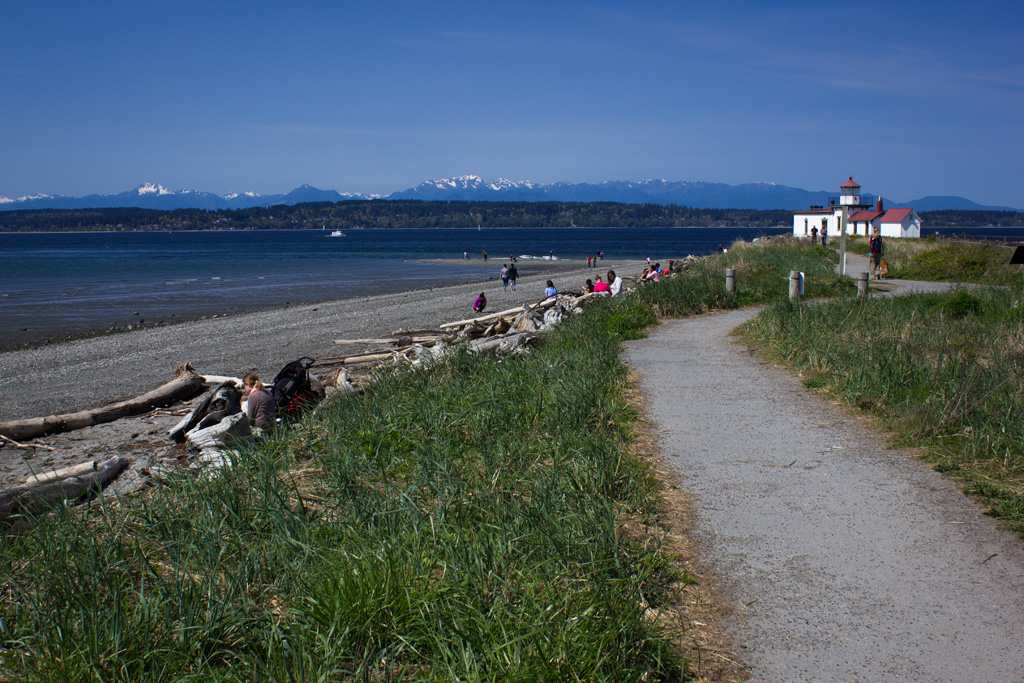
The park stands on the former grounds of a military base called Fort Lawton. West Point Lighthouse, which was built in 1881, sits at the westernmost point of the park.
Parking
We had no problem parking! Yay! There are, I think, three different parking lots at Discovery Park: North, East, and South. We parked in the North Parking Lot at 11 am on Saturday and there were plenty of empty spaces. It looked like the parking lots were close to full by the time we left in the early afternoon, though.
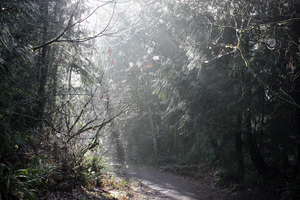
The “Hike”
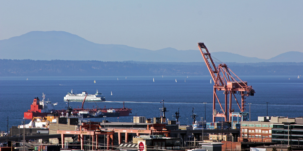
Puget Sound
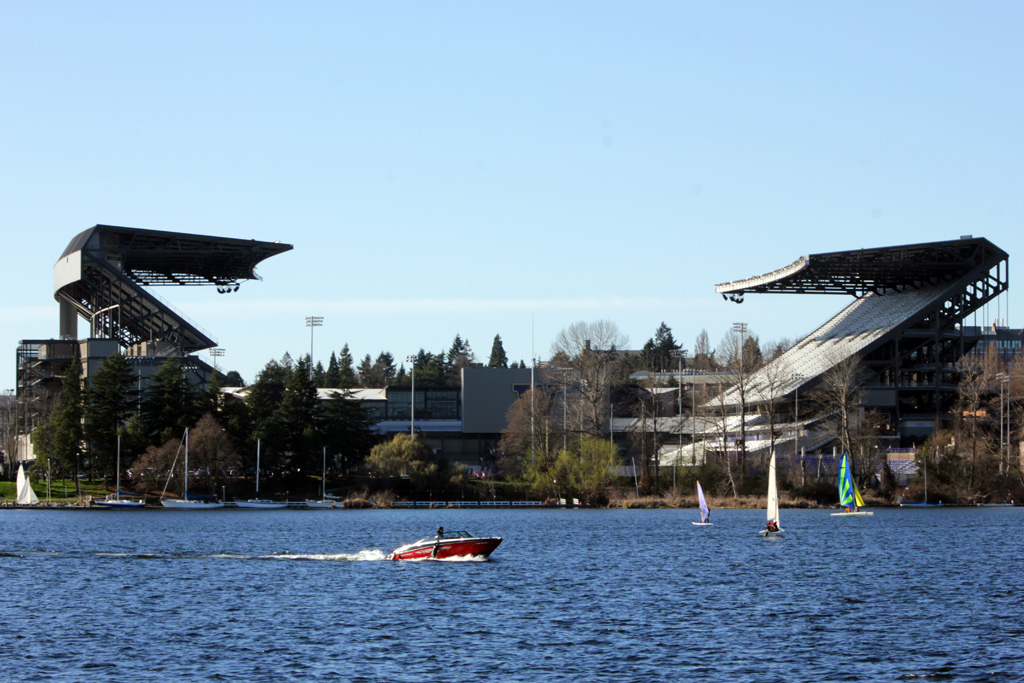
I had printed a map of the park beforehand, but there were maps available at the parking lot, which were much better. We made our way down to the north end of the beach first, where we almost had the place to ourselves. I took an interactive photo at the beach, so you can see a 360 degree view of it.
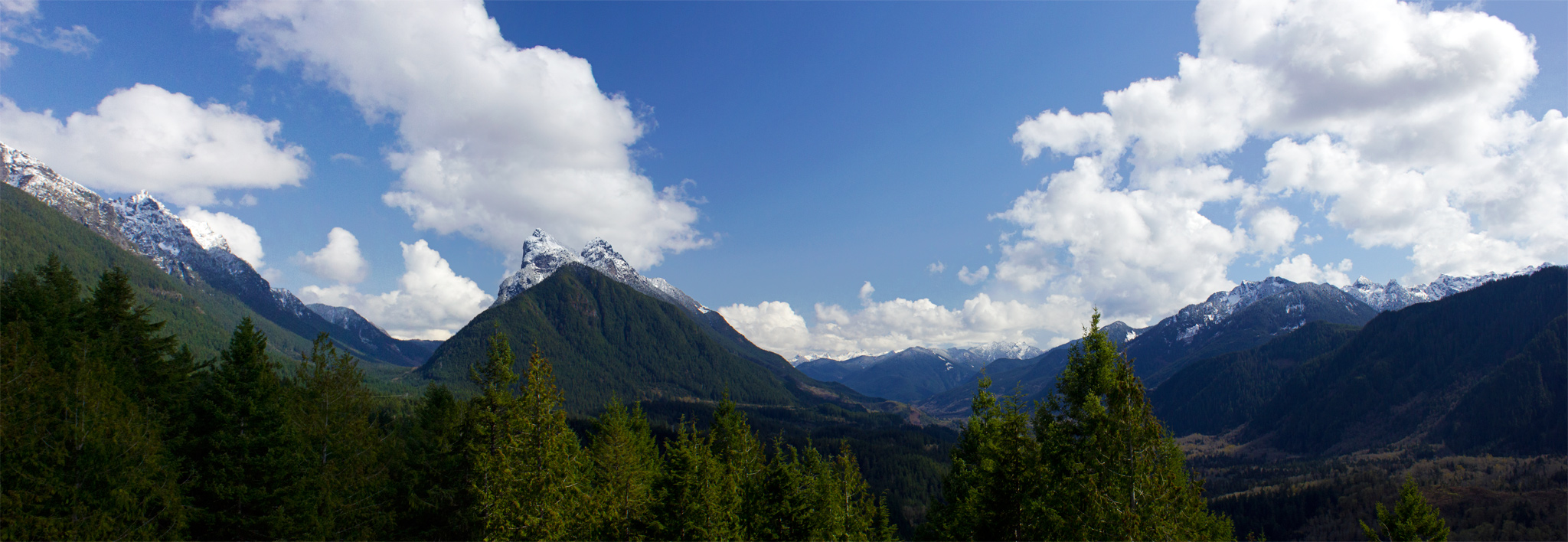
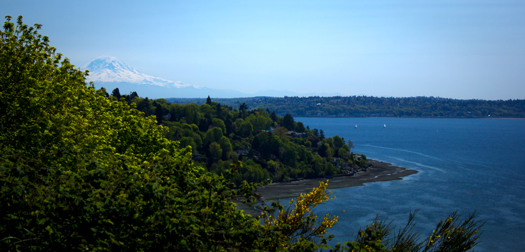
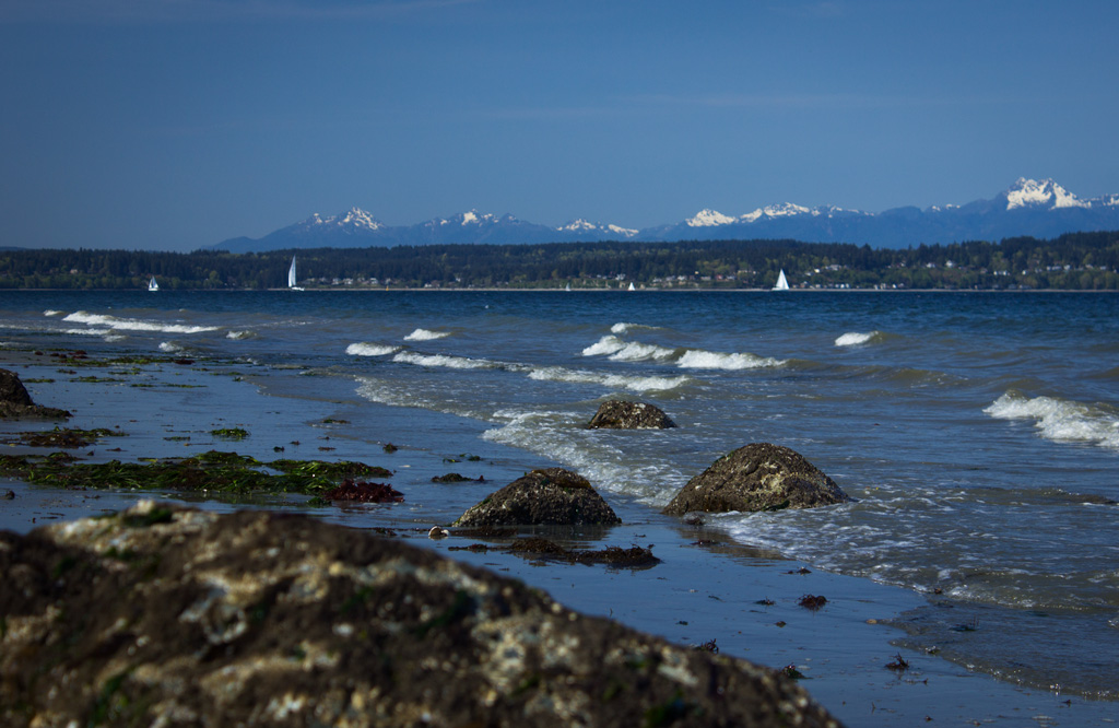
We walked along the beach, looking out at the Olympic mountains and the sailboats on Puget Sound. On the beach, we found crab shells and we got squirted at by geoducks. For you Michiganders, geoducks (pronounced “gooey ducks”) are gigantic clams found in the Pacific Northwest. You can find them by the fountains of water they squirt up (like in this video).
We followed the beach to the historic West Point Lighthouse at the western point of the park. Then we took an inland trail along the perimeter of the park until we got back to our parking lot. We didn’t really walk on any of the interior trails, so we’ll have to come back another time for those. 🙂

Freighter and Olympic Mountains
Beach and West Point Lighthouse